By Vicky Boyd
A plan to develop nearly 1,600 acres of farmland south of Tracy into warehousing has drawn the ire of nearby rural residents and farmers. From water supply questions to existing roads stretched to the limit, they’re growing vocal about their concerns.
Because the proposed project is outside the Tracy city limits, urban residents may not even know about it or figure it won’t affect them because they live in the city.
But Rick Staas, president and CEO of the San Joaquin Valley Hay Growers Association and who lives south of Tracy, said it will no-doubt have wide-ranging impacts. The project falls within the Tracy sphere of influence, so city leaders have a voice in it.
He and his wife, Leanne, among others, are trying to educate rural residents as well as city dwellers about the project.
West Linne Road, for example, is the southeastern boundary of Tracy. Already, semi-truck traffic is heavy coming from existing warehouses. Depending on the time of day, traffic comes to a standstill near Jefferson School on the corner of Linne and Chrisman roads as parents pick up or drop off their kids. Because Linne is not within the proposed project boundaries, Staas said he wasn’t sure it would be widened to handle the additional truck traffic.
“People in town have to tell the city of Tracy, ‘this is going to impact us,’” he said. “If the city of Tracy doesn’t get on board against this thing, we’re going to have a hard time because it’s an area that people don’t care about. I feel everybody needs to write a letter to the board of supervisors opposing this project.”
The San Joaquin Farm Bureau’s Executive Committee voted to oppose the proposal, saying it will take a finite resource – flat farmland – out of production and begin development “out in the middle of nowhere.”
“This is a huge, huge project that’s converting ag-zoned areas into light industry,” said SJFB Executive Director Andrew Genasci. “There are plenty of areas closer to Tracy that are better suited. Why are they pushing into ag land beyond the Tracy city limits?”
SJFB First Vice President Les Strojan agreed. “It’s 1,500 acres of irrigated crop ground, and we just hate to lose that. In any event, couldn’t they put it on land that’s less productive?”
He pointed to the large economic driver agriculture is within San Joaquin County and statewide.
Strojan said Farm Bureau recognizes development will occur, but it should be adjacent to an urban area or infill with a city.
“This is away from urban growth, and we don’t like to see leap frogging,” Strojan said of the proposed project.
Staas said should the project be approved, it will hasten urban growth as warehouse projects fill in the ag ground between existing ones and the proposed one.
On a recent tour of southeastern Tracy, he pointed out all the recently built warehouses. Many appeared vacant, while many also had large for lease signs, each advertising several hundred thousand square feet of available space.
Zach Koster, who farms tree crops and dry beans with his brother, Jacob, and father Bill near Vernalis, said he was concerned about the permanent loss of farm ground.
“I don’t think people understand how important the soil is in the valley,” he said. “It took millions and millions of years to create, and you can’t get that back. As we open up places for people to build, the more we’re going to lose those very important soil series.”
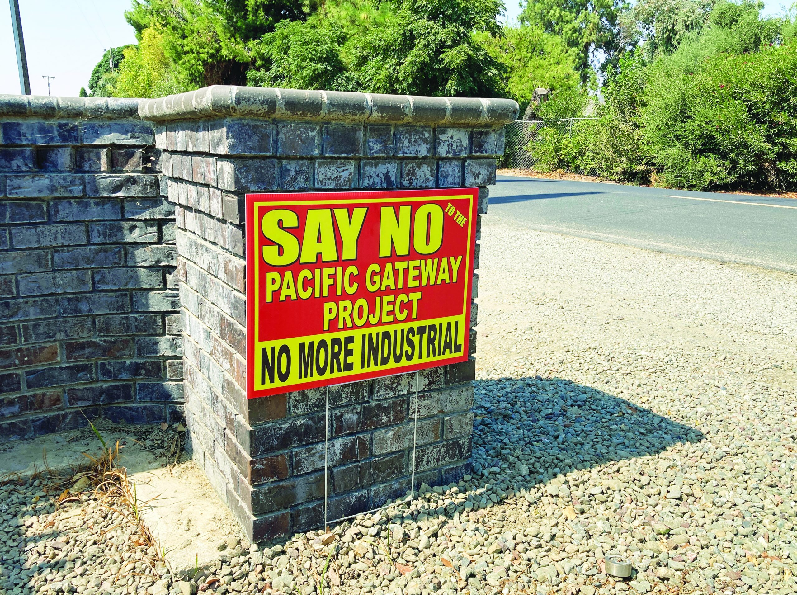
New name, same concerns
The proposed project from developer Mike Sandhu, originally called the Golden State Logistical Hub, has been renamed the Pacific Gateway Project. It is bounded on the west by Tracy Boulevard, on the north by Durham Ferry Road, and on the south by the California Aqueduct, the Delta-Mendota Canal and the Banta-Carbona Irrigation District. The eastern boundary is about 0.5 mile west of Bird Road, and South Chrisman Road bisects the project.
The proposed project involves land about 1 mile south of Tracy city limits but that still is within the city’s sphere of influence. Currently zoned as general agriculture, the land is planted to mostly almonds with a few walnut and cherry orchards. Two separate agricultural businesses –A.B. FAB Inc., which specializes in manufacturing dust control machinery for ag processors, and Crown Nut Co. – also are within the proposed development boundaries.
To conform with the county’s general plan, project developers will likely have to seek three plan amendments to address infrastructure development and converting ag land to limited industrial zoning and community services.
The majority of the proposed project will be zoned limited industrial, which allows warehouses, distribution, fulfillment centers, e-commerce and light manufacturing, to name a few uses. It also includes 67 acres for the private University of Silicon Andhra and 2.7 acres for the new home of VFW Tracy Post 1537.
According to the proposal filed with the county, the initial phase will involve building five warehouses totaling 2.8 million square feet on 152 acres.
Water remains a concern
Bill Koster, who has been involved in water issues much of his life, said he was concerned about the project’s potential sources. Although the area is within the Del Puerto Water District, the district only provides surface supplies to agricultural customers and not to municipal or industrial users.
That would mean developers would likely turn to groundwater, and the area already suffers from groundwater overdraft that has caused land subsidence.
“I think SGMA is going to have an issue because we already have subsidence in that zone,” Koster said about the Sustainable Groundwater Management Act. The area also is not on a municipal wastewater system.
Too much water at times also is a concern. Staas said many houses along Crisman Road were flooded this spring as Corral Hollow Creek overflowed its banks with storm runoff coming from the foothills. With additional pavement from warehouses, he just sees the potential growing worse.
“With Tracy Hills and Ellis all covered, that area used to soak up the water coming off the hills,” he said. “When the hills start getting too wet, it comes directly across.”